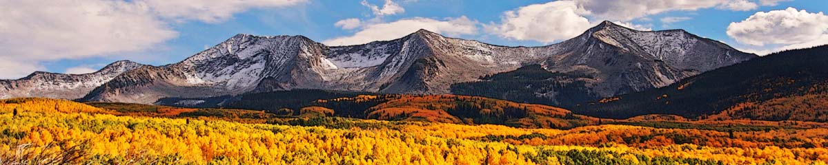
Raft Peak Traverse

Raft Peak is an 8000 foot rocky mountain north of Clearwater, just outside Well Gray Park. It is accessed by a long (22 km) rough (high clearance and the last part requires 4WD) mountain road. There are 5 peaks in the range. From the trailhead to the top of the west summit is a steep 3 km scramble. From there it is an airy scramble across to the second peak. The north slopes descend with snowfields in the cols leading down to Cirque of Tarns. The traverse to the third and fourth peaks is much easier. The final peak requires a bit of light scrambling up, then down the other side.

The traverse is an all-day hike with many slow-going sections, route-finding, and some bushwhacking. There are many fine views from the summit ridge and peaks, including the best views of the 7-9 peaks of the Trophy Mountains immediately north. Mt. Dunn dominates the south view. We scrambled down to Willis Lake off-trail, then picked up the lake trail back to the trailhead to finish off the loop.
Anyone wanting to hike Raft Mountain should use the road guide (included in the album). The hike to the top of Raft 1 (West Peak) and back is about 6 km and requires no special scrambling. The Traverse, on the other hand, is best done by experienced scramblers/hikers who can navigate in the backcountry.
Included here are some photos from a hike on the Raft Traverse. Click the link/arrow on the top corner for the album and captions, or click the arrow to see each photo in the Google Photos album, embedded here:
Notes
- A good detailed description of the route can be found in Roland Neave’s book Exploring Wells Gray Park (p. 241 – 246).
- I have hiked Raft Peak several times, but the traverse only once. I suspect it will not be repeated again.
Comments
Raft Peak Traverse — No Comments
HTML tags allowed in your comment: <a href="" title=""> <abbr title=""> <acronym title=""> <b> <blockquote cite=""> <cite> <code> <del datetime=""> <em> <i> <q cite=""> <s> <strike> <strong>