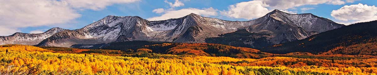
Joss Mountain

Joss Mountain is in the Monashee Mountains, accessed by backroads from Highway One near Eagle Pass. Drive on Highway 1 then turn onto the Three Valley – Mabel FSR and then onto a mountain road, 16 km of high clearance to 4WD access to the West Approach. A post marks the trailhead . This is a steep trail, but mostly easy to follow. It goes through a subalpine zone, before emerging into the rocky alpine traverse to the top of the mountain. There is no trail in the open area, but hikers should take the easiest route to the highest point.

There is a Dominion Forest Lookout built in 1921 on top of a cliff at the summit. It has been abandoned since 1931, but is still there, but in need of some TLC. From the lookout are long views over to Mt. Tsuius (south), to the Mt. Begbie area (east), to Blanket Mountain and Blanket Glacier (southeast), to the Gold Range Peaks (SSE), the Jordan Range and Eagle Pass Mountain (north), and on a clear day some of the higher distant peaks, mostly to the east. Alpine meadows and tarns are on the Joss Mountain East route on the southeast slopes.
This is an out-and-back trek of about 12 km, with an altitude gain of about 1000m. It requires some route-finding and some areas have difficult trail conditions, best suited to experienced hikers. It is a rewarding hike, one we have done three times.
Shared here are some photos from one of the hikes up Joss Mountain in a Google Photos slideshow. Click a link to go to the album (with captions) or enjoy the slideshow embedded in this post.
More Information:
- Trailhead directions (Shuswap Trails)
- Trailhead – N50 52.362 W118 29.933
- Joss Mountain Hike (YouTube)
Comments
Joss Mountain — No Comments
HTML tags allowed in your comment: <a href="" title=""> <abbr title=""> <acronym title=""> <b> <blockquote cite=""> <cite> <code> <del datetime=""> <em> <i> <q cite=""> <s> <strike> <strong>